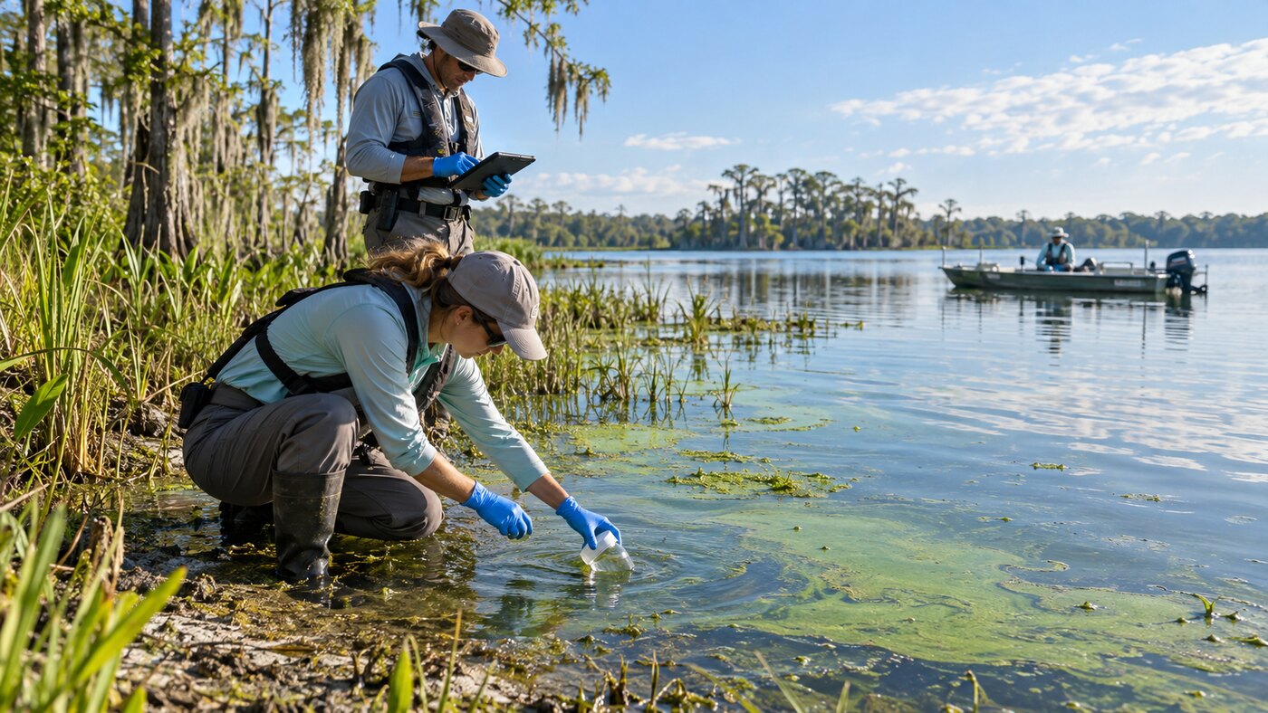
Florida samplers observed algal bloom conditions at five of 17 sites visited during the week ending Friday, while laboratory results ranged from no detected cyanotoxins to low or trace detections.
The Florida Department of Environmental Protection’s Florida algal bloom report covers Oct. 24 through Oct. 30. It combines field visits, laboratory samples and satellite imagery. Those measurements answer different questions, so a satellite patch should not be read as a toxin result.
Florida algal bloom report by waterbody
| Waterbody or site | Latest evidence | Reported result |
|---|---|---|
| Lake Okeechobee | Friday satellite view | Low to medium bloom potential on about 25% of the lake; highest in the southwest |
| St. Lucie River | Friday satellite review | Highly scattered low bloom potential |
| St. Johns River and Lake George | Latest satellite scene | Scattered low to moderate bloom potential downstream toward Jacksonville |
| Veterans Memorial Park Pond | Midweek response sample | Microcystins detected at 1.9 parts per billion |
| Kell-Aire Lake | DEP response sample | Microcystins detected at 0.82 parts per billion |
| Lake Bessie north shore | Water and mat samples | No cyanotoxins detected in the reported samples |
| Lake Okeechobee at Pahokee Marina | Oct. 27 sample | Trace cylindrospermopsin detected at 0.12 parts per billion |
The weekly count shows why the type and date of evidence matter. DEP reports 17 field visits and 17 collected samples, with visible bloom conditions at five sites. A visible bloom can be present without a toxin detection, and a laboratory result represents a specific place and collection time rather than an entire lake.
Cloud cover also limited parts of the satellite review. DEP says the Caloosahatchee River image from Thursday showed no significant bloom potential on visible portions, while portions of the Lake Okeechobee image were obscured. Wind, rain, temperature and water level can alter what satellites show.
DEP advises people and animals to stay out of water that contains visible specks or mats or that appears pea green, blue green or brownish red. Pets and livestock should also be kept away from affected shoreline material and fish.
This blue-green algae update is separate from the active Mexico Beach red tide alert. Red tide involves a different organism and a different coastal health notice.
Readers can use the state’s field-and-lab dashboard for the location and collection date behind any result. Conditions can change between a sample and a weekend visit, so the current map and posted local signs are the final check.
The Daily Quill tracks verified water conditions on its Science and Environment desk. The next statewide weekly summary is the meaningful point to compare whether these sites improve, persist or move.