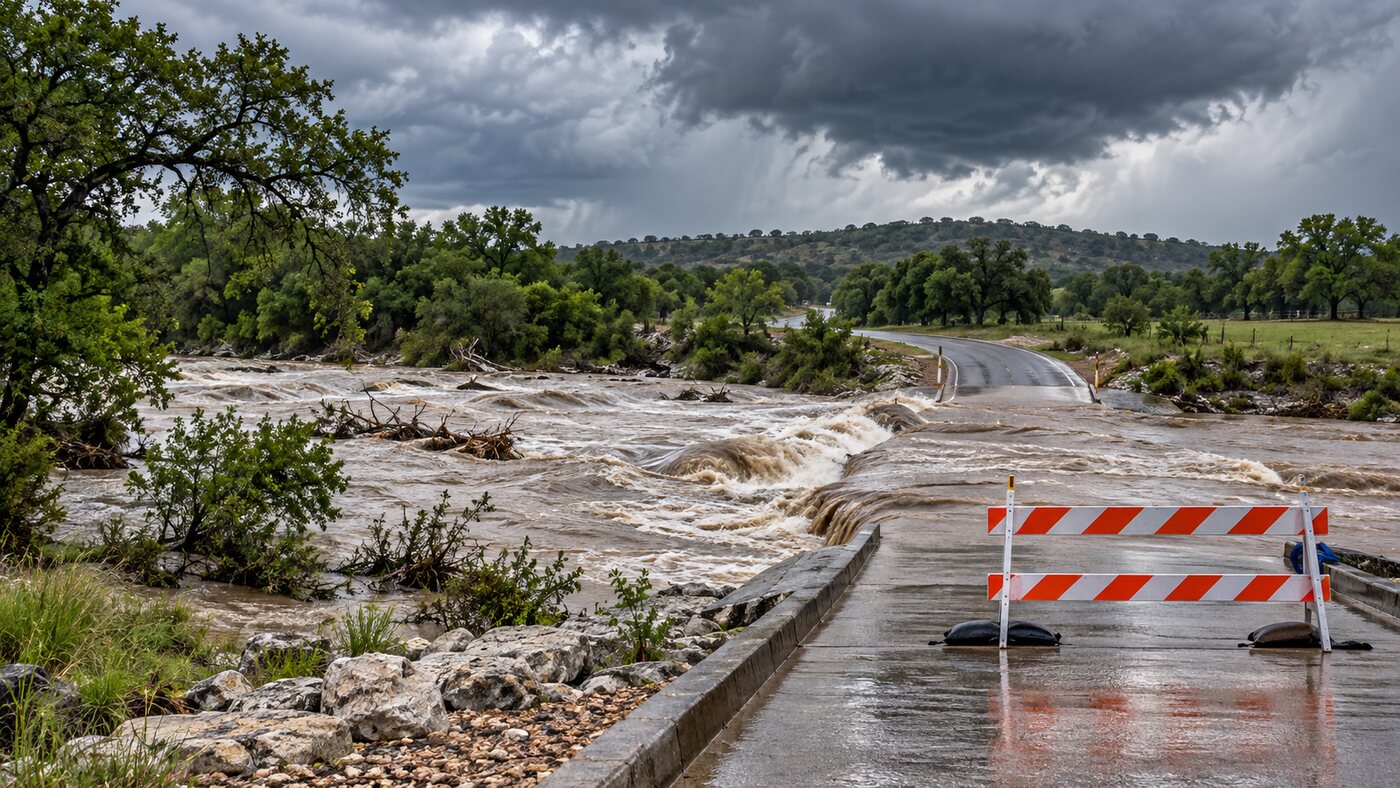
A South Central Texas flood watch is in effect as rounds of showers and thunderstorms are expected to bring heavy rain to western parts of the region Thursday and Friday.
The National Weather Service office serving Austin and San Antonio said Wednesday evening that most locations in the main rain corridor could receive 1 to 2 inches. Isolated totals may approach 4 inches.
The greatest concern is along a north-to-south corridor over the Edwards Plateau and Rio Grande. The forecast is not a promise that every community will receive the highest total, but it does signal that brief, intense rainfall may create localized flooding.
South Central Texas flood watch timeline
| Period | What the forecast says | Practical check |
|---|---|---|
| Wednesday night | Rain chances increase in western counties | Check alerts before sleeping or traveling west |
| Thursday | Repeated showers and thunderstorms may develop | Avoid low-water crossings and monitor route conditions |
| Thursday night-Friday | Heavy-rain potential continues | Keep alerts active and allow extra travel time |
| Saturday night | Drier weather is expected to return | Continue following local closures until officials lift them |
NWS says the best rain chances are over the Rio Grande Plains and southern Edwards Plateau. Showers and isolated storms also remained possible near Interstate 35 and the Coastal Plains Wednesday evening.
Rain totals can vary over short distances
The forecast range matters because thunderstorms do not distribute rain evenly. One neighborhood can receive a manageable amount while a nearby creek basin or roadway gets a much heavier burst.
Drivers should not use a regional rainfall average to decide whether a particular crossing is safe. Water depth and road damage can be difficult to judge at night, and moving water can carry a vehicle away. A barricade or closure should be treated as a stop, not as an estimate.
Residents in flood-prone areas can use the NWS Austin-San Antonio watches and warnings page for official updates. County emergency-management pages and road departments are the better source for local closures. The Daily Quill’s Science and Environment desk also tracks weather and environmental notices across the region.
A simple preparation check before Thursday
The forecast supports a short, practical review rather than panic buying. Charge a phone, enable emergency alerts, move loose outdoor items away from drainage paths and identify a route that does not depend on a low-water crossing.
People responsible for livestock or outdoor work should also look at hourly conditions rather than only the daily rain icon. A storm period can create lightning, poor visibility and rapidly changing access even when the total for the day appears moderate.
Travelers should check conditions twice: once before departure and again near the affected area. A route that was open earlier can close after a storm passes upstream.
What changes next
The NWS forecast page was updated at 8:56 p.m. Central time Wednesday. Watches, warnings and rainfall estimates may change as storms develop, so the next useful check is Thursday morning and again before any westbound trip.
If a Flash Flood Warning is issued for a location, move away from creeks, drainage channels and low spots and follow local emergency instructions. The current flood watch means conditions are favorable for flooding; a warning means flooding is occurring or imminent in the warned area.